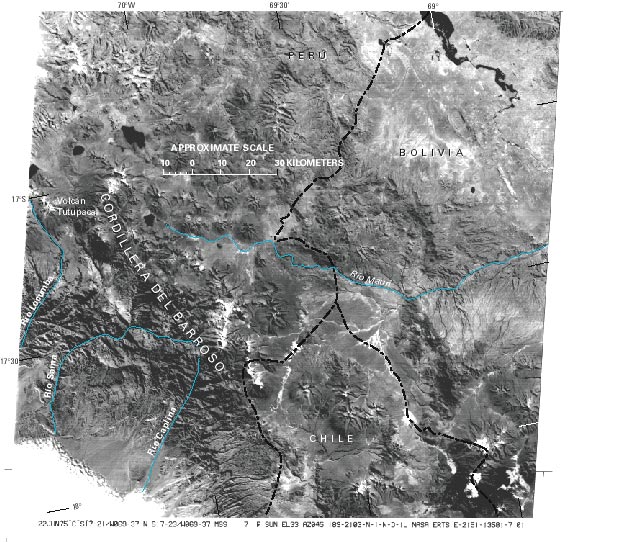
Cordillera de Barroso
The Cordillera del Barroso, volcanic in origin, is in the Cordillera Occidental between lat 16°51' and 17°37'S. and long 69°45' and 70°30'W. It trends northwesterly for about 110 km. The total area covered by glaciers is estimated from Landsat images to be 20 km². Drainage is westward to the Pacific Ocean by Río Caplina, Río Sama, Río Locumba, and Río de Ilo and northeastward by Río Huenque into the Titicaca Lake basin. Volcán Tutupaca is the highest peak at 5,741 m asl. Next figure, a Landsat image, clearly shows the glaciers and volcanic landforms of the Cordillera del Barroso area.


